Studio, the application generator
mviewer studio makes it easy to deploy applications for non-specialists. No more need to know the development languages, create, configure and customize your mapping application easily.
More...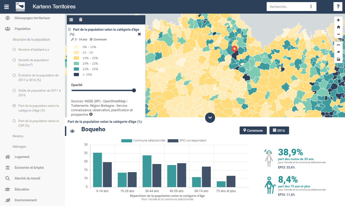
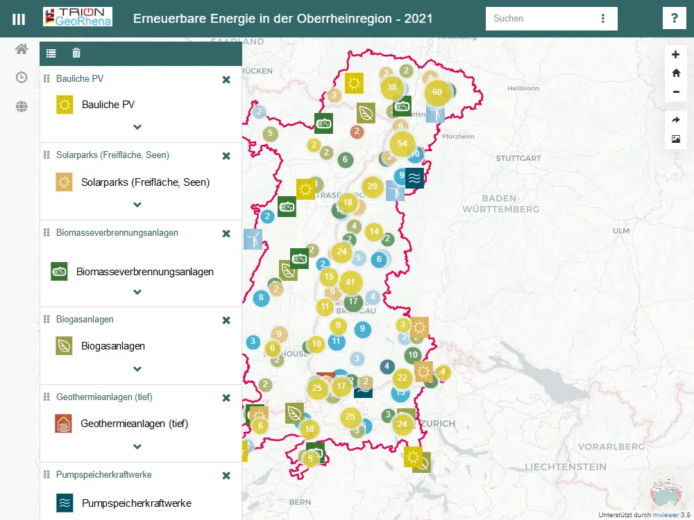
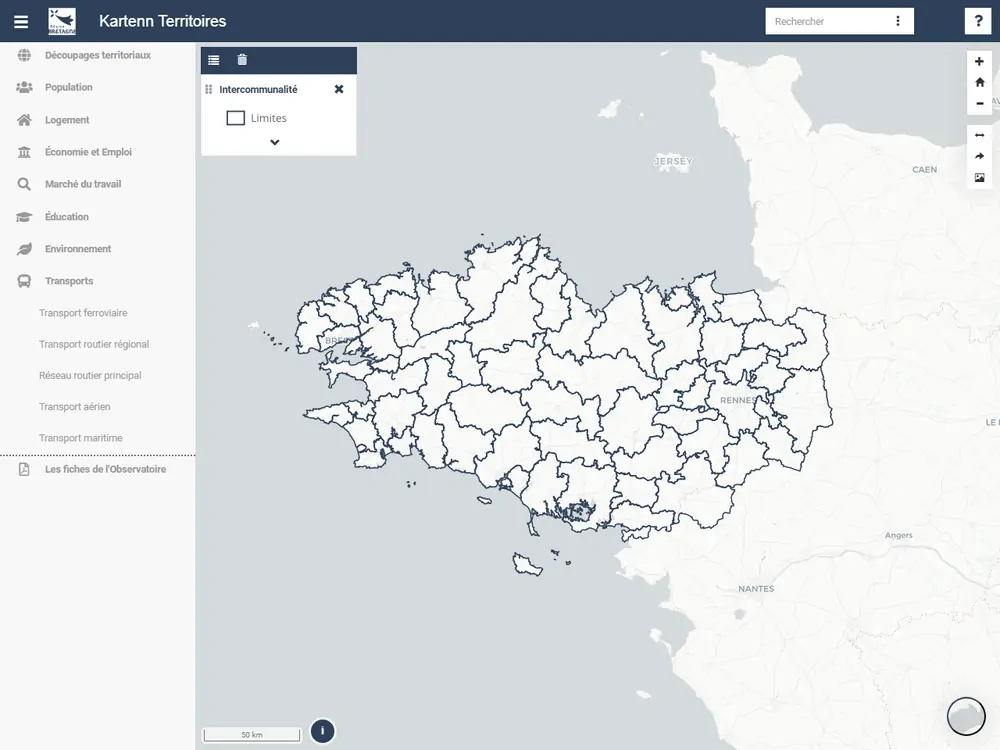
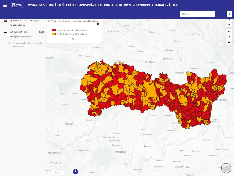
mviewer is a cartographic application initiated and developed by the Brittany Region, under the name Kartenn (map in Breton). The source code of this application is freely reusable since 2014. Many communities but also companies, the research and education sector use this application freely and participate in its evolution.
Discover mviewer !Cartography - Key figures - Datavisualization - Editorial content (Photographs, texts, videos, etc)
Give a maximum of autonomy to your specialist or general public users
Spatial Data Infrastructures (SDI) - National data providers - Open Data platforms
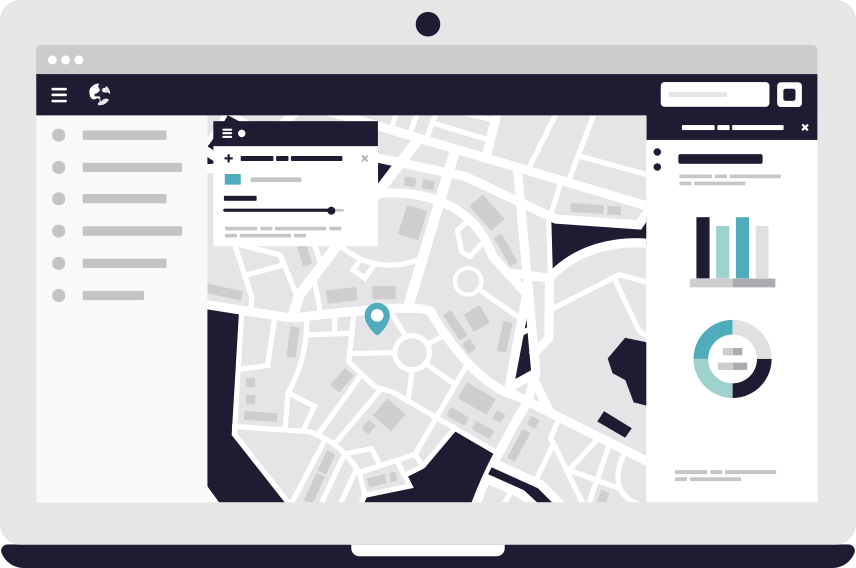
OGC - Geoserver - DataBase - GeoNetwork
Libraries Javascript (OpenLayers 5, Chart.js - Proj4) Bootstrap Framework
Quick and easy installation Advanced setting Customizable interface Declinable in business applications
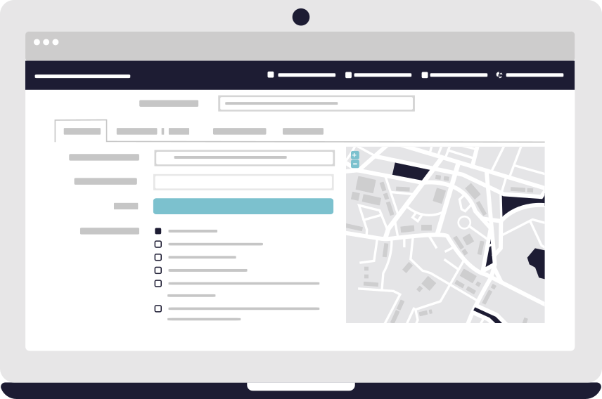
mviewer studio makes it easy to deploy applications for non-specialists. No more need to know the development languages, create, configure and customize your mapping application easily.
More...
Extend the target audience of your users: you can enrich your applications with geographic data, graphics and editorial content to distribute them on your institutional sites and on all media.
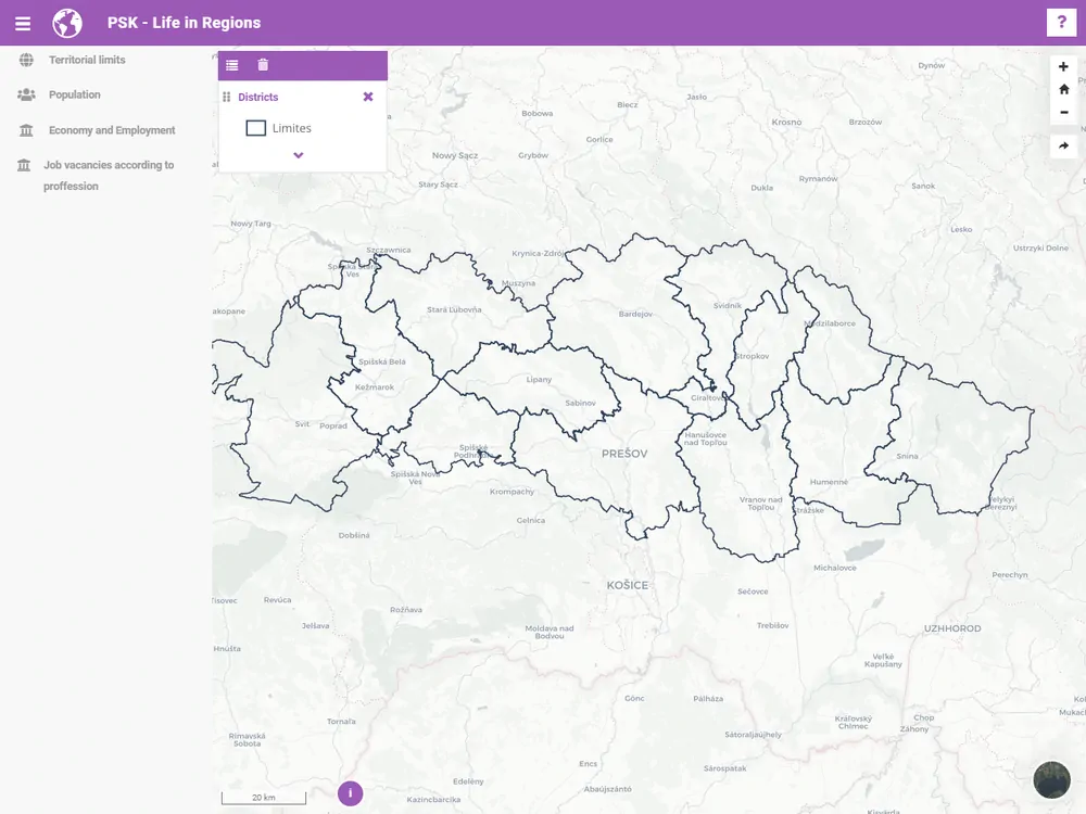
ExamplesDeveloped by a community of developers and users, you too can contribute to new developments. ! On github, Matrix's room, during mviewer meetings…
Get started
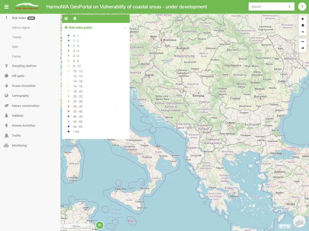
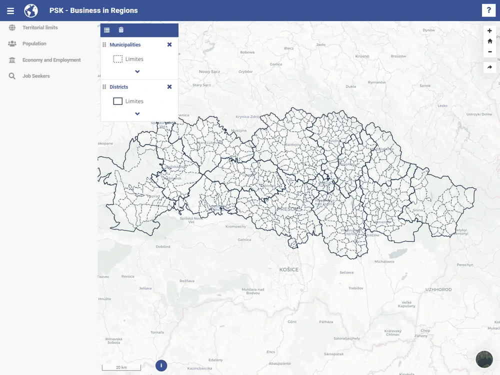
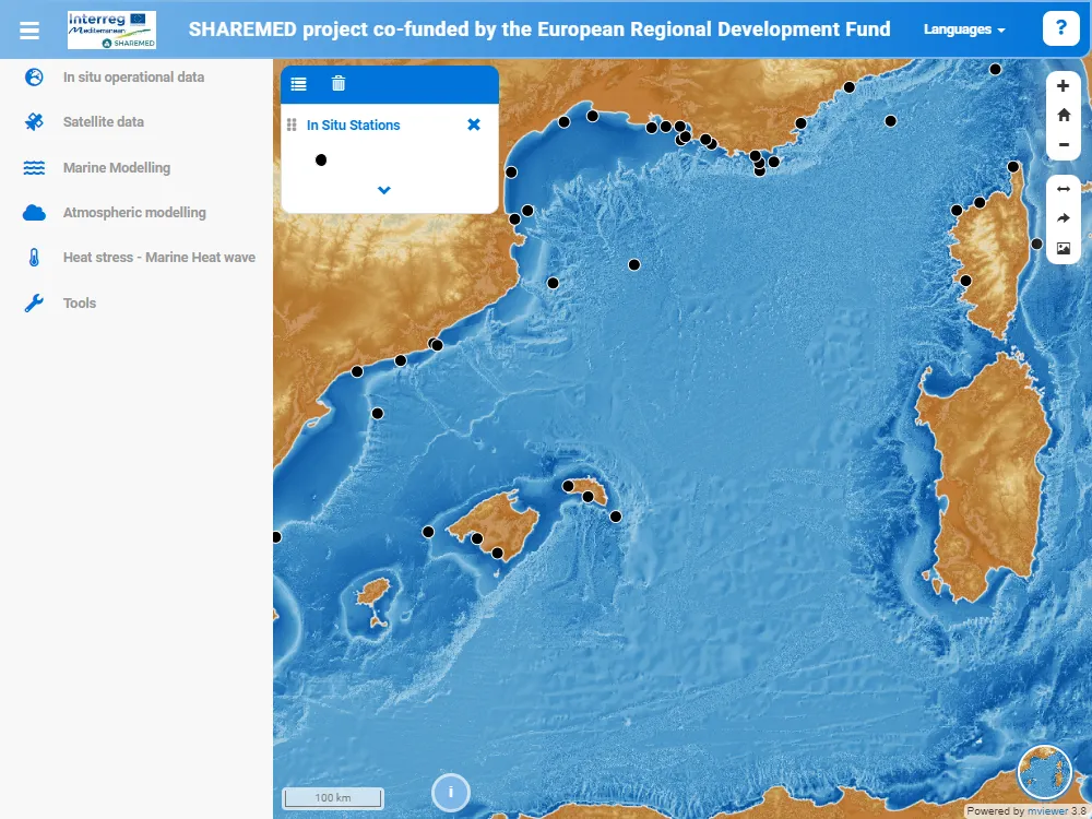
SHAREMED project co-funded by the European Regional Development Fund
